Mine Surveying & Volume Measurements
Volume measurements and pit surveys, verified by drone as well as ground survey.
Learn more about Mine Surveying & Volume Measurements
Topographic & Engineering Surveys
Before land is developed, engineers and architects need to know what is already on the site. GeoSurv surveys it and produces the plans they design from.
Overview
Who it is for: Architects, engineering consultants, contractors, developers and institutions.
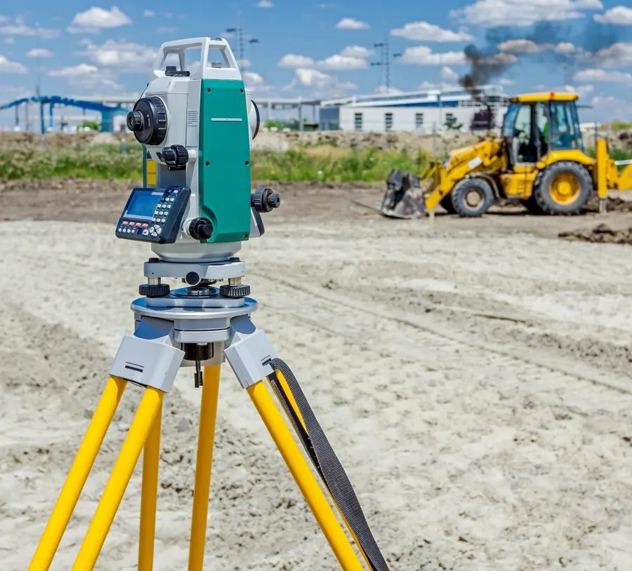
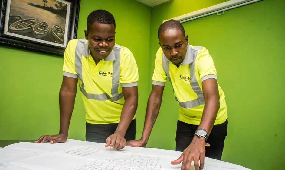
Whether the project is housing, roads, power lines or pipelines, good design begins with an accurate picture of the site. GeoSurv carries out topographic and engineering surveys and produces topographic or as-built plans for designers and engineering consultants.
After the design is finished, GeoSurv can mark out structures on site to the specifications and accuracy the client requires.
Scope of services
Surveys of the existing ground and features for design.
Surveys that record what has been constructed.
Marking structures on site to the client’s specification and required accuracy.
Scaled CAD drawings of the survey work.
Base mapping for planning, including Land Board village extensions.
Data supplied in any format of the client’s choice.
Ground survey is combined with drone survey to capture all the detail on site, so the model can be rotated and examined without returning to site.
Applications and benefits
Site information for layout and design.
Ground information for linear infrastructure.
Survey support, as on the Charleshill water reticulation project.
Survey support, as on the Lobatse mall extension project.
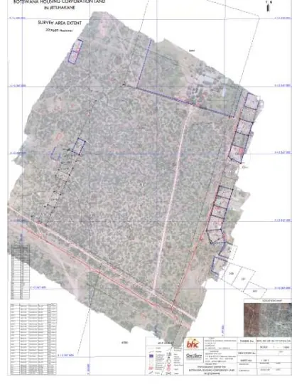
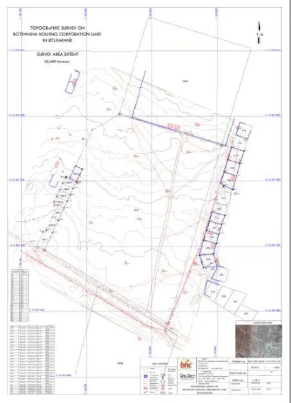
Ground survey combined with drone survey on a topographic survey of a 400 hectare piece of land.
Process
Tell us about the property or project and what you need.
We define the scope and plan the survey.
Survey measurements and data are captured on site.
Data is processed and checked.
The agreed survey outputs are delivered.
Deliverables
Related services
Volume measurements and pit surveys, verified by drone as well as ground survey.
Learn more about Mine Surveying & Volume MeasurementsPhoto control for photogrammetry, established with sub-centimetre GPS systems.
Learn more about GPS Surveying & Control StationsSurvey and capture of ground features so GIS practitioners can build their databases.
Learn more about GIS Data CaptureTell us about your requirements and we will advise on the right approach.